
Point cloud
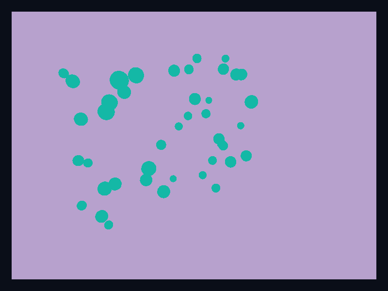
A point cloud records where observations were made. Unlike a trajectory, it does not join them in order; unlike a surface, it does not claim that the space between them was measured.
This makes it useful for an inspection scan or spatial sample set. Keep all three coordinates meaningful. If the third coordinate is only a visual flourish, a two-dimensional scatter plot is usually easier to interpret.
Compose example
The component receives validated positions in one coordinate system and renders a small sphere at each one. Keep observation identifiers and metadata in the source model; the scene positions are only its display projection.
use fission::prelude::*;
use fission::core::op::Color;
use fission::three_d::{Point3D, Primitive3D, Scene3D};

fission_component! {
    pub PointCloudScene<()> {
        props {
            title: TextContent,
            positions: Vec<Point3D>,
            point_radius: f32,
            point_color: Color,
        }
    }
    view(cloud, _state, _cx) {
        let mut scene = Scene3D::new().height(320.0);
        for position in &cloud.positions {
            scene = scene.add_primitive(Primitive3D::Sphere {
                center: position.clone(),
                radius: cloud.point_radius,
                color: cloud.point_color,
            });
        }
    } => Column(children: [
        Text(cloud.title.clone()),
        scene,
    ])
}
Place this component in widgets/point_cloud.rs and enable the three-d feature. Scene3D stores Vec<Primitive3D>; a sphere has a Point3D centre, f32 radius and colour. The radius must be finite and positive, and all positions finite.
A constant radius means one observation has one visual weight. If radius encodes uncertainty or another quantity, explain that relationship explicitly; a large sphere otherwise suggests a larger physical object.
Interaction and accessibility
This scene API does not retain per-observation IDs for picking or emit ChartInteractionEvent values for spheres. Preserve those IDs in the model and provide a labelled observation list, or choose a scene interface with an explicit picking contract.
Provide the sample count, coordinate units, bounds and important findings outside the image. The title identifies the subject, but cannot describe every point to a reader who cannot see it.
Checks
Test the coordinate projection and any filters or sampling before rendering. Inspect sparse and dense inputs: overlap can conceal observations even when every coordinate is correct. A sphere-per-point construction is not a promise of large-scale scan rendering; measure representative input sizes and retain the original samples if simplifying the view. The screenshot is a gallery fixture.
Tags: 3d, point-cloud.
Previous
Mesh surface